 |
|
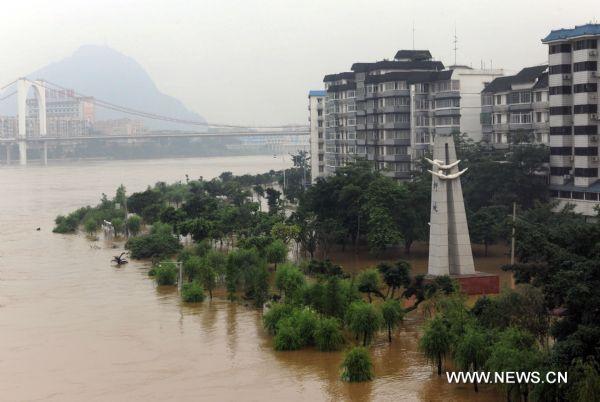
Photo taken on June 21, 2010 shows the upsurging Liujiang River flowing in torrents with banks on both sides submerged in the spate, at Liuzhou, southwest China's Guangxi Zhuang Autonomous Region. The water level of the flood peak reported by Liuzhou hydrological station recorded at 82.83 meters by 3 o'clock am, outreaching 0.33 meter over the flood alert line, with a flood peak flux of 15,500 cubic meters per second. The water level droped drastically afterward to below 82 meters by 8 o'clock am on June 21. (Xinhua/Lai Liusheng) |


